
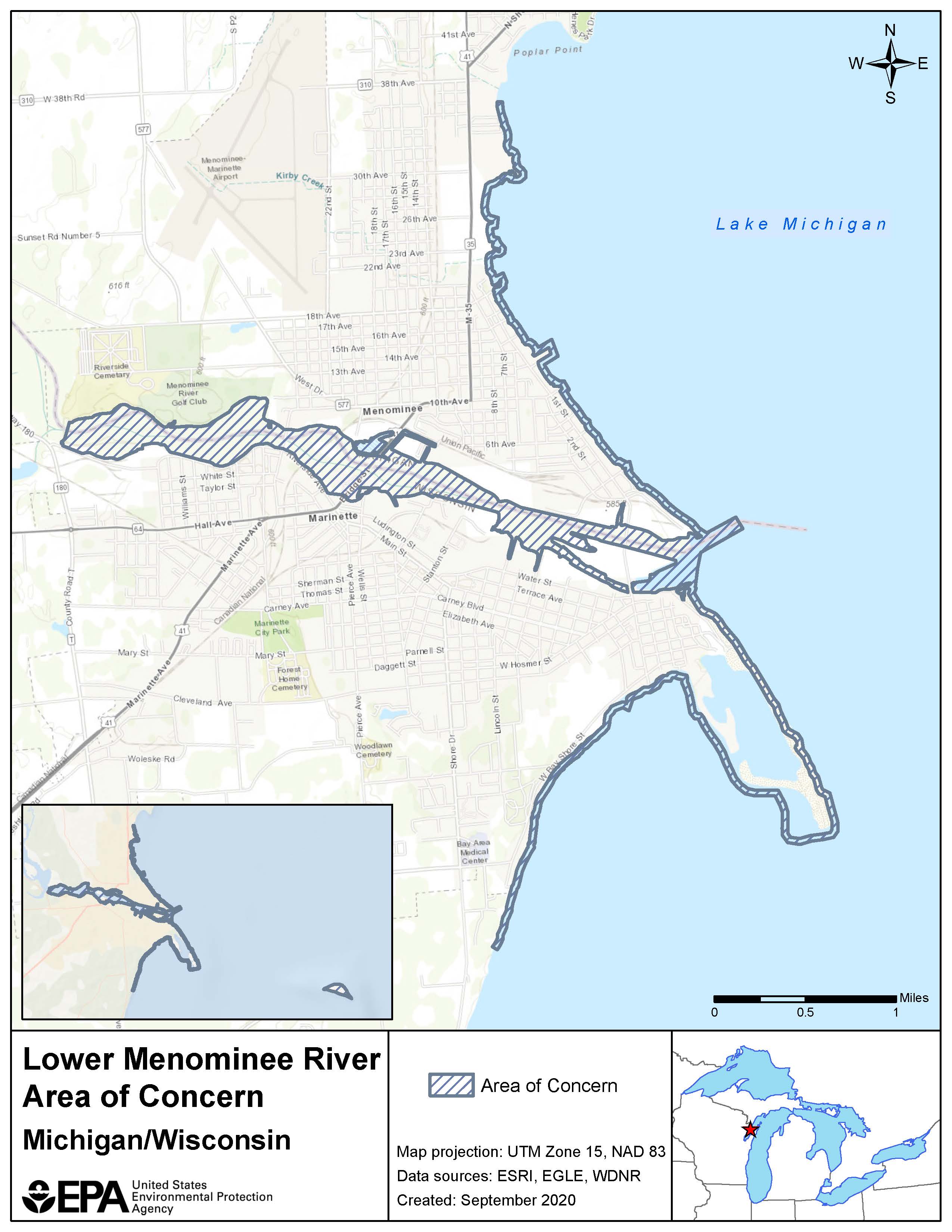
Lower Menominee River AOC Boundary Map
The Lower Menominee River forms the boundary between the northeast corner of Wisconsin and the southern tip of Michigan’s upper peninsula, with headwaters originating in both states. The river’s main stem flows from the city of Menominee, Mich., and Marinette, Wis., and empties into Green Bay.
The AOC included:
- The lower three miles of the river from the Park Mill Dam to the river’s mouth.
- Approximately 3.1 miles north of the river mouth along the adjacent shoreline of Green Bay to John Henes Park.
- Three miles south of the river mouth along the adjacent Green Bay shoreline, including Seagull Bar.
- Green Island, located approximately five miles east of Seagull Bar.
- The cities of Menominee, Mich., and Marinette, Wis.
- The adjacent nearshore area of Green Bay, Wis.
Other maps of the AOC: