
AirToxScreen Mapping Tool
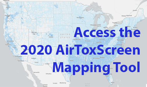
The AirToxScreen Mapping Tool currently includes the 2020 AirToxScreen assessment, with cancer risk data at the census block level. The 2019, 2018, and 2017 AirToxScreen assessments are available in an archived tool, linked here, with cancer risk data and noncancer hazard indices at the census tract level available in tabs. Select the tab for the year and information you want to view. (NOTE: Use caution when comparing different assessment years. See our Frequent Questions webpage for more).
The AirToxScreen Mapping Tool displays cancer risks, emissions data, and other AirToxScreen data on a map. Users can "zoom" to areas of interest using the map's search tool, select census blocks to see summary level information about risk from air toxics, and view other AirToxScreen data and results.
The latest version of the AirToxScreen Mapping Tool includes the following data layers:
- total cancer risks for each U.S. census block with population
- cancer breakdown by pollutant and emissions source type
- emissions data for point-source sector emissions modeled in AirToxScreen
- chronic noncancer hazard indexes
- air toxics monitoring sites with monitoring data
The AirToxScreen Mapping Tool is best viewed on a desktop or laptop device.
Please Note: EPA has posted information on this site as a convenience to the site’s users. Although EPA has made every effort to ensure the accuracy of the information posted on this site, users of this site should not rely on information relating to environmental laws and regulations posted on this site. Portal users are solely responsible for ensuring that they are in compliance with all relevant environmental laws and regulations. In addition, EPA cannot attest to the accuracy of data provided by organizations outside of the federal government. By providing data or other information for use and potential display on this site, users acknowledge that they have obtained all necessary permissions and authorizations to do so, in compliance with all applicable statutes and regulations.