Status and Progress
On this page:
Progress Reports
Every three years under the GLWQA, Canada and the U.S. report on progress in GLWQA implementation through the Progress Report of the Parties. Individual jurisdictions also report their progress towards achieving nutrient targets on agency websites. Much of the data being used to track progress can be downloaded from the Great Lakes Commission’s Blue Accounting website for Lake Erie Algae (ErieStat) which is updated at least annually.
Current Status
Since 2018, Canada and the U.S., along with their partners, have enhanced their support for on-the-ground actions to reduce sources of phosphorus to Lake Erie as identified in their respective Domestic Action Plans. These actions are slowing phosphorus inputs that cause algae blooms in the lake. Since 2015, the U.S. has reduced phosphorus loading from agricultural and municipal sources to the watershed by over 3 million pounds per year. These reductions are early indications that actions being taken are on the right track, but we are still a long way from meeting the 40% reduction target.
Many factors contribute to the difficulty in meeting the 40% reduction target. Modeling suggests that at least 50% of the agricultural landscape in Canada and the U.S. will need to have conservation practices implemented to meet this goal. Meanwhile, increasing temperatures in recent years are creating longer growing seasons for algae, and more frequent high intensity precipitation events during the spring are delivering phosphorus to the lake during a time of year that promotes the intensity and duration of summer algal blooms. These factors combined with the intensification of land use and changes in land management, such as increases in fall application of fertilizers and increases in urban runoff due to expanding areas of impermeable surfaces, can serve to offset the overall impact of phosphorus load reduction actions.
2022 Project Highlights
Programs to Reduce Phosphorus Loadings from Agricultural Sources
Ramping up federal conservation programs
Federal agencies have doubled the amount of cost-share funding available to farmers each year since 2014. According to the Natural Resources Conservation Service (NRCS), approximately 30% of these funds have gone to nutrient management practices, 41% to cover crops, and 20% to animal waste storage and management. Assuming an average edge-of-field phosphorus reduction of 2 pounds per acre would yield a total phosphorus reduction of 1,167,750 pounds because of these practices.
H2Ohio Initiative
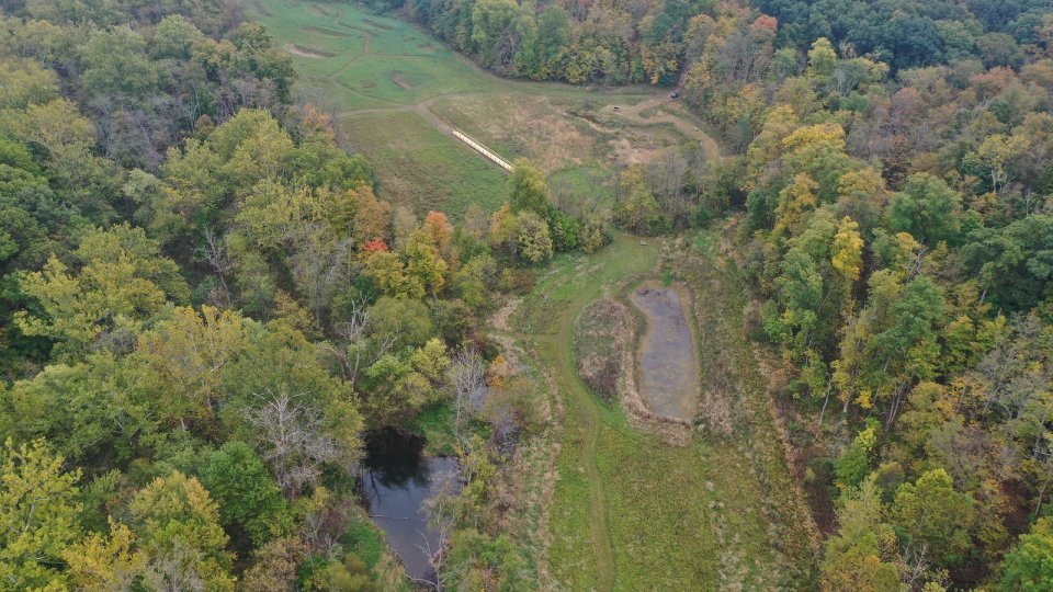
H2Ohio is Governor DeWine’s statewide water quality initiative designed to address complex issues impacting Ohio’s waters. Launched in 2019, H2Ohio is a collaboration between the Ohio Department of Agriculture (ODA), Ohio Department of Natural Resources (ODNR), Ohio EPA, and Ohio Lake Erie Commission that uses a comprehensive approach guided by science and data to reduce nutrient runoff and improve water quality in Ohio.
As part of ODA’s work, farmers are incentivized to implement best management practices that are designed to reduce nutrient runoff, starting with a Voluntary Nutrient Management Plan (VNMP). An approved VNMP is required for all producers participating in the program, encouraging coordination between individual producers, agricultural retailers, custom applicators, soil and water conservation districts, and others. According to the 2023 H2Ohio annual report, more than 2,600 producers are participating in H2Ohio. These agreements total 1.4 million acres enrolled into VNMPs, and 2.2 million acres enrolled in best management practices, accounting for nearly 35 percent of the total cropland in the WLEB. In partnership with ODNR, H2Ohio has more than 170 wetland projects around the state that are filtering nutrients and slowing water flow. Phosphorus source reduction estimates and other data can be viewed on the Data Ohio Portal.
Increasing Great Lakes Restoration Initiative (GLRI) funds
Approximately $20 million in GLRI funds is invested in Lake Erie nutrient reduction efforts each year, primarily on conservation practices. This is an increase from approximately $10 million per year prior to 2020.
Expanding Agricultural Programs in Indiana
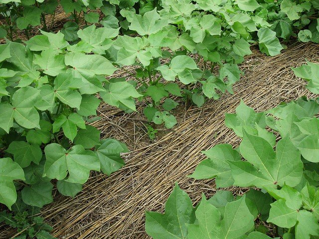
The number of Indiana acres planted in cover crops hit a record high in 2021. Indiana now has a statewide 4R program, and interest in the program is growing. From 2015 to 2020, agricultural management practices implemented in its portion of the western Lake Erie watershed reduced phosphorus loss by 577,115 pounds.
Encouraging Farmer Conservation in Michigan
Michigan is one of the major partners of the Regional Conservation Partnership Program and encourages farmers to participate in the Michigan Agriculture Environmental Assurance Program (MAEAP), a voluntary effort to provide technical assistance to farmers so they can reduce the loss of nutrients from their farm fields. In 2022, Michigan added four new MAEAP technicians to the WLEB to provide focused assistance in five prioritized subwatersheds of the WLEB.
Programs to Reduce Phosphorus Loadings from Municipal Sources
Major reductions from Detroit wastewater and combined sewer overflows (CSOs)
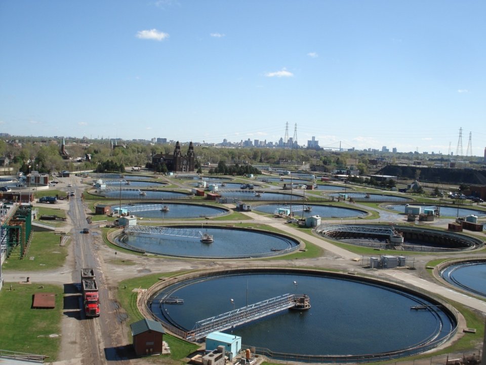
The Great Lakes Water Authority operates the City of Detroit Water Resource Recovery Facility (WRRF)—the largest municipal source of phosphorus to Lake Erie. To date, 95% of Detroit’s annual CSO volume has been treated and the remainder is being addressed with a long-term control plan. In total, the phosphorus load from treated wastewater from the WRRF, CSO treatment facilities, and untreated CSOs has been reduced by approximately 400 tons annually.
Fort Wayne Deep Tunnel in Indiana
The Ft. Wayne Three Rivers Protection and Overflow Reduction Tunnel (3RPORT) and the Tunnel Works program will collect and transport sewage and stormwater to the sewage treatment plant that would have otherwise been directed to Fort Wayne’s combined sewer overflow system. Combined sewer overflows will be reduced from 71 to 4 occurrences during a typical year, which will reduce nutrient inputs to the St. Marys and Maumee Rivers. By the end of 2023, Fort Wayne will have connected about 45,000 residents and 15,000 properties to the tunnel and it will be fully operational by the end of 2025.
Erie County, Pennsylvania, residential wastewater improvements
Increased inspections, education and assistance are reducing residential wastewater discharges in Erie County, Pennsylvania. As of 2023, the Erie County Department of Health annually inspects 345 small flow systems that drain into Lake Erie to identify and correct water quality problems, and compliance rates are improving due to increased interaction with residential system owners as a result of the program.
Watershed-Based Planning and Restoration Efforts
Maumee River Total Maximum Daily Load (TMDL)
In 2023, Ohio Environmental Protection Agency (OEPA) finalized a Nutrient TMDL for the Maumee River watershed to address impairments in western Lake Erie due to HABs. The TMDL includes phosphorus load allocations for point source and nonpoint source pollution to meet the reduction goals established under Annex 4.
New watershed-based plans
Watershed plans help determine priority areas for nonpoint source control measures to improve water quality. As of 2023, Ohio’s Lake Erie watershed had 135 approved watershed plans in place, with 72 of those developed since 2020, and another 10 under development. Michigan continues to develop watershed plans for the western Lake Erie watershed, and all watersheds in Indiana’s portion have approved watershed management plans that are being implemented and/or updated.
Prioritizing Agricultural Conservation Needs
Michigan departments are developing agricultural inventories in high-priority subwatersheds in the Bean Creek watershed (a subwatershed of the Maumee River watershed), the S.S. LaPointe Drain watershed, and the River Raisin watershed. The agricultural inventory process will collect data to locate and prioritize sites that have the potential to address nutrient runoff and will have a positive impact on water quality.
Science, Research, and Monitoring
Supporting science under GLRI
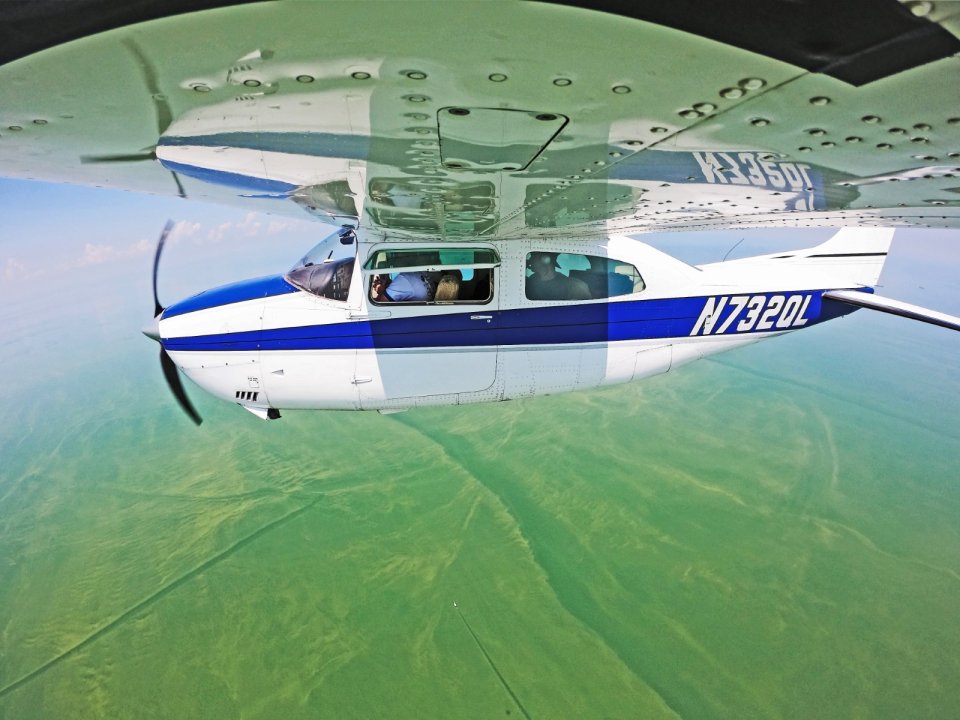
From 2018 to 2020, NOAA, USGS, and USACE conducted over $15 million in critical science activities to support Lake Erie nutrient-reduction goals. GLRI supports HABs monitoring and decision-support tools, including the Lake Erie HABs Tracker tool and biweekly forecasts; tributary and edge-of-field monitoring and nutrient load computations; and ecosystem and watershed modeling.
Wetlands research
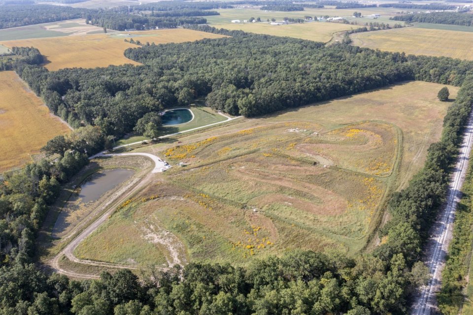
In 2020, the U.S. Army Corps of Engineers built a phosphorus-optimized demonstration wetland in Defiance, Ohio, that will be monitored for at least 5 years. This project builds on several years of research on soil sorption capacity, which is being used to validate the effectiveness of wetlands to mitigate soluble and particulate forms of phosphorus over time.
Cladophora monitoring
Coordinated monitoring is underway by USGS and ECCC to support Annex 4. Cladophora monitoring occurs at approximately 10 sentinel sites in the Great Lakes basin, including diver-led monitoring and in-situ sensors. USGS is also testing new methods to remotely sense Cladophora using autonomous underwater vehicles.
HAB Research Initiative (HABRI)
Since 2015, nearly $20 million has been made available through the Ohio Department of Higher Education to support 97 HABRI projects. Project selection, which is guided by the technical needs of state agencies and supports the Governor’s H2Ohio Water Quality Initiative, gives both short-term assistance and long-term solutions for a suite of issues surrounding HABs in Ohio.
Communication and Outreach
Engaging Stakeholders on Adaptive Management in Michigan
The Michigan Domestic Action Plan team developed a Lake Erie Adaptive Management (AM) Plan and formed an advisory group to guide the AM process. The AM Plan allows for a more structured way to learn about the impacts of actions to reach the state’s reduction goals and then use the results of those actions to adjust future paths forward. Michigan provides updates on the planning and implementation of their Domestic Action Plan and companion AM Plan via their Taking Action on Lake Erie website, and in 2023 held their first inaugural State of the Western Lake Erie Basin Conference.
Ohio coordination on HABs
Annually, Ohio Sea Grant and the University of Toledo host a 2-day meeting with agency leadership and staff to communicate how funded research might impact management decisions and provide tools and approaches to address the HAB issue. These discussions inform future research projects and outreach events. Ohio Sea Grant also organizes an annual State of the Science Conference to bring researchers and water quality managers together to review the current scientific knowledge related to algal blooms.
Citizen-led Cladophora monitoring
Since 2019, NYSDEC has been working to increase awareness of nuisance Cladophora growth by launching Cladophora Along the Great Lakes Shorelines, a new web page and a geographic information system-based reporting tool to encourage citizens to report occurrences of Cladophora along Great Lakes shorelines.
Video to Showcase Conservation in WLEB
USDA developed an informational that provides a closer look at the collaborative partnerships driving innovative water quality assessment and conservation in the WLEB. The video shows how conservation assessments in the watershed bring researchers, farmers, government agencies and nonprofit organizations together to develop science-based solutions and strategically place them where they can deliver the greatest conservation benefits.
