
LakeCat Dataset
On this page:
The FTP server has been retired and all LakeCat data is now available through api.epa.gov
LakeCat's REST API has moved to api.epa.gov/StreamCat/lakes see StreamCat's Swagger Documentation for details.
You can now only access data via the map tool, table tool, StreamCat R Package, and REST API. See Access LakeCat Data for more information
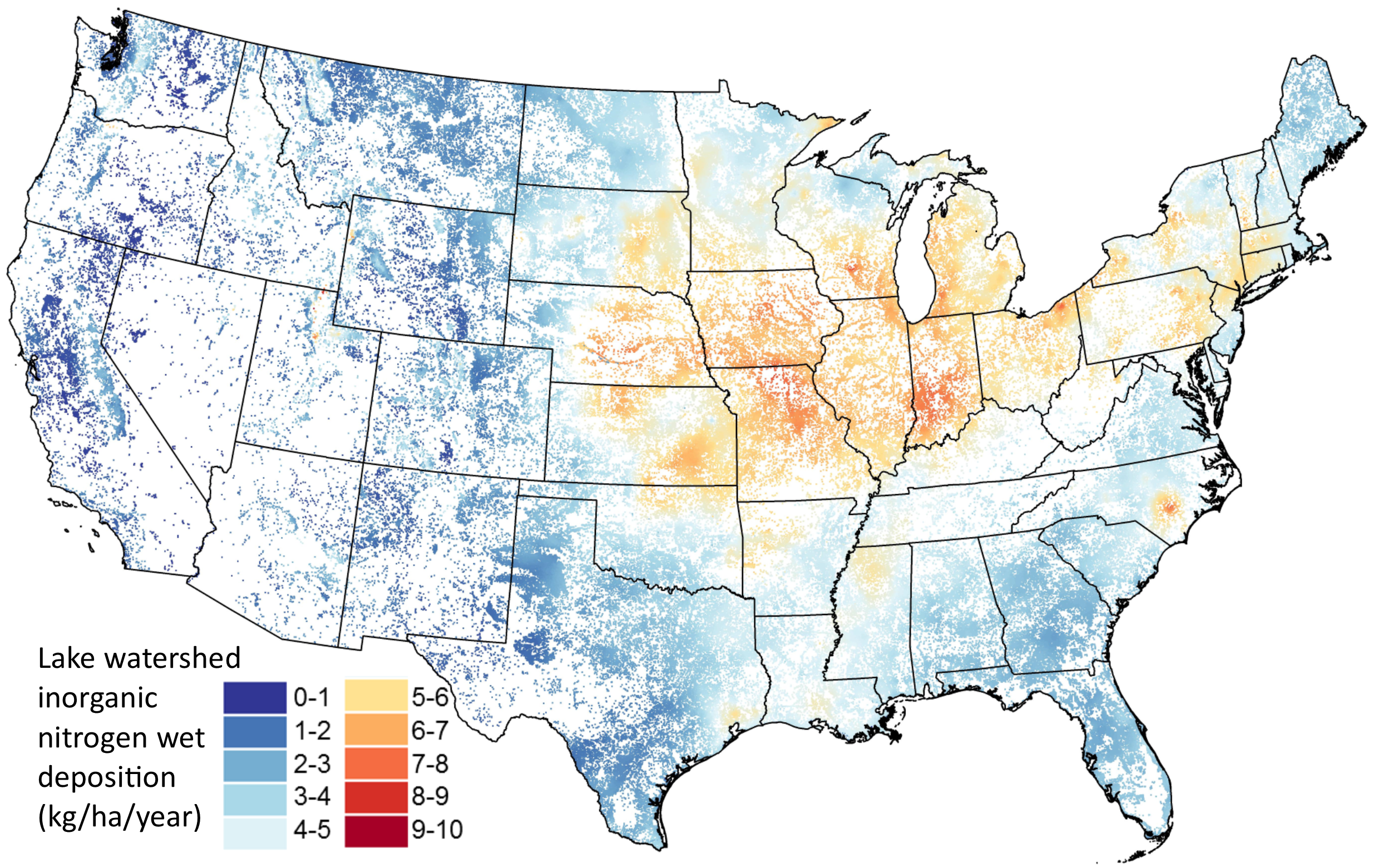
LakeCat currently contains over 300 metrics that include local catchment (Cat), watershed (Ws), and special metrics. See Geospatial Framework and Terms in the ReadMe for definitions of the terms ‘catchment’ and ‘watershed’ as used with the LakeCat Dataset. An additional metric, in StreamCat, indicates whether the variable was pulled from the StreamCat Dataset or calculated with a geospatial framework that was developed for LakeCat.
These metrics are available for 378,088 lakes and their associated catchments across the conterminous US. LakeCat metrics represent both natural (e.g., soils and geology) and anthropogenic (e.g, urban areas and agriculture) landscape information.
Access LakeCat Data
- Data by Individual Catchments via Web Map Interface
- Data by COMID, State, County, Hydroregion, or full conus via Table Interface
- R Programming Interface
- (Temporarily Unavailable) LakeCat Geospatial Framework - GIS layers and tables used to process off-network lakes
LakeCat Documentation
- A detailed description of the LakeCat Dataset and its development is now available in the journal Freshwater Science.
- Please include the following citation in any publication or presentation including LakeCat data: Hill, Ryan A., Marc H. Weber, Rick Debbout, Scott G. Leibowitz, Anthony R. Olsen. 2018. The Lake-Catchment (LakeCat) Dataset: characterizing landscape features for lake basins within the conterminous USA. Freshwater Science doi:10.1086/697966.
- The Read Me file provides additional detail and important information on how to access and use the LakeCat Dataset.
- LakeCat Swagger Documentation
- The Variable List provides a quick reference of available watershed metrics.
- Metadata
- Documentation is provided on the steps that were followed to develop and conduct quality assurance on the LakeCat Dataset.
- The LakeCat GitHub page has the latest working versions of LakeCat code and a brief description of each script we used to develop the LakeCat Dataset, including examples of tables used to control the processing of LakeCat.
- Publications that have referenced LakeCat.
- Updates to the LakeCat dataset will be reported here.
Citation
Please include the following citation in any publication or presentation including LakeCat data:
Hill, Ryan A., Marc H. Weber, Rick Debbout, Scott G. Leibowitz, Anthony R. Olsen. 2018. The Lake-Catchment (LakeCat) Dataset: characterizing landscape features for lake basins within the conterminous USA. Freshwater Science doi:10.1086/697966.
Feedback
We welcome any feedback on LakeCat - email weber.marc@epa.gov.
Disclaimer
Although these data have been processed successfully on a computer system at the United States Environmental Protection Agency (EPA), no warranty expressed or implied is made regarding the accuracy or utility of the data on any other system or for general or scientific purposes, nor shall the act of distribution constitute any such warranty. It is also strongly recommended that careful attention be paid to the contents of the metadata file associated with these data to evaluate data set limitations, restrictions, or intended use. The EPA shall not be held liable for improper or incorrect use of the data described and/or contained herein.