
Building A Resilient Shoreline: Lessons Learned from Hurricane Sandy
Published September 26, 2017
While Hurricanes Harvey, Irma, and Maria recently battered Texas, Florida, Puerto Rico, and the U.S. Virgin Islands, parts of the Northeastern United States are still recovering from Hurricane Sandy, the deadliest and costliest storm of the 2012 hurricane season.
More than 40 million people currently live in coastal shoreline counties in the Northeast. Hurricane Sandy highlighted the vulnerability of these communities and the need for resiliency strategies from future sea level rise and extreme weather events, including hurricanes and extreme flooding. Storms, flooding, and rapid sea level rise can impact resources and infrastructure in low lying areas including roads, public access points, and sewer and water mains. There are also high levels of nutrients associated with dense human populations in these communities.
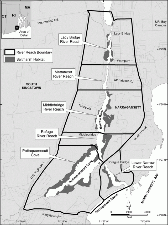
One example of a community project in which local stakeholders, state, and federal partners joined together to develop a plan and actions to build coastal resiliency in the aftermath of Hurricane Sandy is the Narrow River Estuary Project. EPA researchers, working with the U.S. Fish and Wildlife Service (USFWS) and other local stakeholders, state, and federal partners, developed a set of recommendations and actions for the Narrow River Estuary, part of the larger Narragansett Bay Estuary in southern Rhode Island. The project intended to enhance marsh condition so that it would better withstand changes in weather patterns and vulnerability to increased inundation from flooding, extreme storms, and sea level rise.
Together the group identified loss of coastal marshes as the main environmental threats facing these communities. Coastal marshes are valuable because they provide habitat for fish and wildlife, reduce flooding, and improve water quality.
Researchers modeled the Narrow River Estuary with the Sea Level Affecting Marshes Model to identify priority areas likely to become permanently inundated and disappear in future decades, and which areas could potentially become tidal wetlands. The mapping, analyses of historic and present-day photographs, and on-the-ground field observations showed increased shoreline and channel erosion, higher frequency of ponding in the high marsh, and wider tidal creeks.
To better protect the shoreline from erosion, the team decided to install a living shoreline—which included coir logs and bags of oyster shells or other organic materials—to create a more stable shoreline and build a system of improved resilience. Sediments from nearby channels, which were being dredged for navigational purposes, were used to restore the degrading marshes. The dredged materials were applied in thin layers to areas that had been degraded by water logging. After the dredged materials were stabilized, plants were added to the marshes. In addition, small, twisting creeks and channels were created to drain any newly formed ponds to restore tidal exchange and growing conditions for marsh vegetation. The team plans to remove barriers such as culverts and stone walls to facilitate marsh upland migration. And finally, the team is removing inland dams to restore sediment delivery across the estuary.
These steps will help the Narrow River Estuary continue to be a great habitat for wildlife, provide flood abatement, and become more resilient to extreme weather events in the future.