
UST Finder
Description
EPA developed UST Finder, a web map application containing a comprehensive national map of underground storage tank (UST) and UST release data. The application has a combination of data sourced from states and territories, and EPA data for Indian country. It provides the attributes and locations of active and closed USTs, UST facilities, and UST releases in states as of 2018-2019, US territories as of 2020-2021, and Tribal lands as of 2025. UST Finder contains information about proximity of UST facilities and UST releases to: surface and groundwater public drinking water protection areas; estimated number of private domestic wells and number of people living nearby; and flooding and wildfires areas. UST Finder can import additional data layers and export UST facility and UST release site information for use by other software programs. This tool is a collaboration among EPA's Office of Underground Storage Tanks, Office of Research and Development, Regions, the Association of State and Territorial Solid Waste Management Officials and Tribes.
UST Finder is available on EPA’s GeoPlatform.
UST Finder 2.0 – Coming Soon!
EPA is working to update UST Finder to version 2.0, a new and improved version of the national mapping application of UST facilities and release sites. We are appreciative of the work and assistance from states who have provided and shared new versions of their datasets.
One of the key updates of the next version of the application is to capture more current and more robust data from states, territories, and tribal lands. This version will also include enhanced features and additional data layers.
Currently, EPA OUST is working on standardizing the state data into a nationally consistent format to publish in UST Finder 2.0. States will have the opportunity to review the data again before it is published.
Please contact USTFinder@epa.gov with any questions.
UST Finder Guides
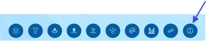
To access the User Guide and other helpful resources, go to the UST Finder application and click on the “about” icon (shown below) at the bottom of the landing page.
Then click on the link to access each resource listed below.
- UST Finder Fact Sheet – a brief overview of UST Finder.
- UST Finder Quick Start Guide – helps you navigate UST Finder.
- UST Finder User Manual – provides step-by-step guidance to navigate UST Finder, describes methods used, and provides background material.
- Download UST Finder Data – a link to instructions for downloading UST Finder data.
Additional Resources
UST Finder Webinar October 2020. The Association of State and Territorial Solid Waste Management Officials (ASTSWMO) hosted a webinar for state and regional UST stakeholders highlighting UST Finder’s features and data
Instructional Videos. EPA developed three instructional videos for UST Finder
These training materials were created in 2020 when UST Finder 1.0 was published. UST Finder underwent a software update in December 2025 and the application that is currently available is UST Finder 1.3. These videos are still applicable though the user interface looks slightly different.
For more information about UST Finder, contact USTFinder@epa.gov