
Technical Approaches for the Sensor Data on the AirNow Fire and Smoke Map
EPA and the U.S. Forest Service (USFS) are now showing data from air sensors on the Fire and Smoke Map (FASM), located on the AirNow.gov website.
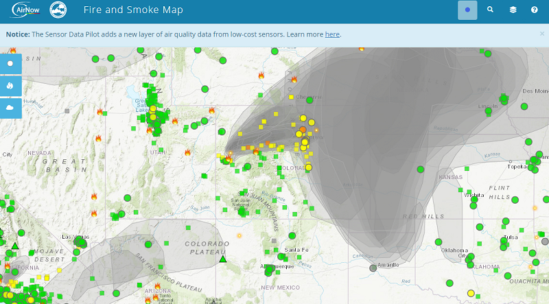
The goal of the pilot, launched in August 2020, is to provide people with additional information on air quality during wildfires, especially in areas where AirNow monitors may not exist. The Fire and Smoke Map includes data from:
- Air sensors reporting publicly available, outdoor, fine particulate matter (PM2.5) data. These may be operated by individuals, commercial companies, or by state, local, or Tribal air quality agencies.
- Stationary long-term monitoring stations that are used to report outdoor air quality to the public on AirNow.gov. These are generally operated by state, local or tribal air quality agencies and stay in place for many years.
- Temporary monitors that agencies use to monitor smoke events.
The map also provides information on large fire incidents, satellite-detected fires, smoke plumes, and special smoke statements.
On this page:
Initial Pilot
The sensor data incorporated onto the map during this initial pilot, is publicly reporting, outdoor, crowdsourced fine particulate matter (PM2.5) data from PurpleAir sensors. Fine particulate matter is an air pollutant that can impact the lungs and heart and cause adverse health effects. Out-of-the-box, data from these air sensors are not comparable to data from regulatory-grade monitors. To make the data more comparable to other data sources on this map, EPA developed a series of quality control checks and an extended U.S.-wide correction equation which is applied to the data before it is displayed on the Fire and Smoke Map. These steps make it easier for users to compare sensor data and permanent and temporary monitor data side by side.
Technical Approaches for PurpleAir Data on the AirNow Fire and Smoke Map [25 minutes]
IIn this video Dr. Karoline Barkjohn, US EPA Office of Research and Development, describes the methods used to clean and quality control data on the AirNow Fire and Smoke map along with current limitations of the PurpleAir sensor data and frequently asked questions.
Related Webinars and Publications
- May 2021 EPA Tools and resources webinar: AirNow Fire and Smoke Map and the Extension to the U.S.-Wide Correction Equation for PurpleAir PM2.5 Air Sensors
- Journal Article: Correction and Accuracy of PurpleAir PM2.5 Measurements for Extreme Wildfire Smoke (2022)
- Journal Article: Development and Application of a United States wide correction for PM2.5 data collected with the PurpleAir sensor (2021)
- Journal Article: Field Evaluation of Low-Cost Particulate Matter Sensors for Measuring Wildfire Smoke (2020)
Additional Air Sensors on the Fire and Smoke Map
EPA extended the pilot to consider the process by which we might add additional sensor data from other providers. This table notes these additional sensors, their current status, and links to the documentation describing the data quality and data processing.
| Sensor Data Provider | FASM Status | Additional Information |
|---|---|---|
| PurpleAir, LLC | Included (Public, outdoor PM2.5 data using the extended U.S.-wide correction) | PurpleAir Performance Evaluation |
| Clarity Movement Co. | Included (Public, outdoor PM2.5 data using calibration model V2.1) | Clarity Performance Evaluation |
| State of Oregon (SensOR) | Included in a provisional status. Documentation under review. | |
| State of Washington (SensWA) | Included in a provisional status. Documentation under review. | SensWA QAPP |
EPA does not endorse any particular commercial product. Mention of trade names or commercial products does not constitute EPA or USFS endorsement or recommendation for use.
Related Resources
- AirNow
- Fire and Smoke Map
- Fire and Smoke Map Information
- Using AirNow During Wildfires
- Science Matters Newsletter article on research to improve accuracies of air sensors
- Particulate matter basics
Contact
For inquiries regarding the Fire and Smoke Map: firesmokemap@epa.gov