
Drinking Water Mapping Application to Protect Source Waters (DWMAPS)
- What is the Drinking Water Mapping Application to Protect Source Waters (DWMAPS)?
- How can DWMAPS be used to protect sources of drinking water?
What is the Drinking Water Mapping Application to Protect Source Waters (DWMAPS)?
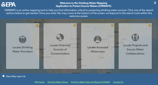
DWMAPS is an online mapping tool that helps state and utility drinking water professionals in concert with other state and local mapping tools to update their source water assessments and protection plans. Watershed protection groups and source water collaboratives can also use DWMAPS to locate drinking water providers, potential sources of contamination, polluted waterways as well as information on protection projects and Source Water Collaborative initiatives in their area.
How can DWMAPS be used to protect sources of drinking water?
DWMAPS can provide drinking water professionals, source water collaboratives, watershed groups, and others with information to update source water assessments and prioritize source water protection measures in any location or watershed in the country. Specifically, DWMAPS helps users:
-
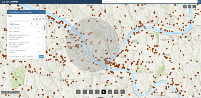
Results of a search for all facilities with permits to discharge materials upstream of a selected point near Pittsburgh, PA. - Find data to support source water assessments and plans to manage potential sources of contamination;
- Evaluate accidental spills and releases, identifying where emergency response resources for accidental releases must be readily available; and
- Promote integration of drinking water protection activities with other environmental programs at the EPA, state, and local levels.
DWMAPS does not display the actual locations of public water system facility intakes but contains a wide variety of data useful to protection of drinking water sources.
Contact us to ask a question, provide feedback, or report a problem regarding DWMAPS.