
Section 32 and 33 Abandoned Uranium Mines (Tronox)
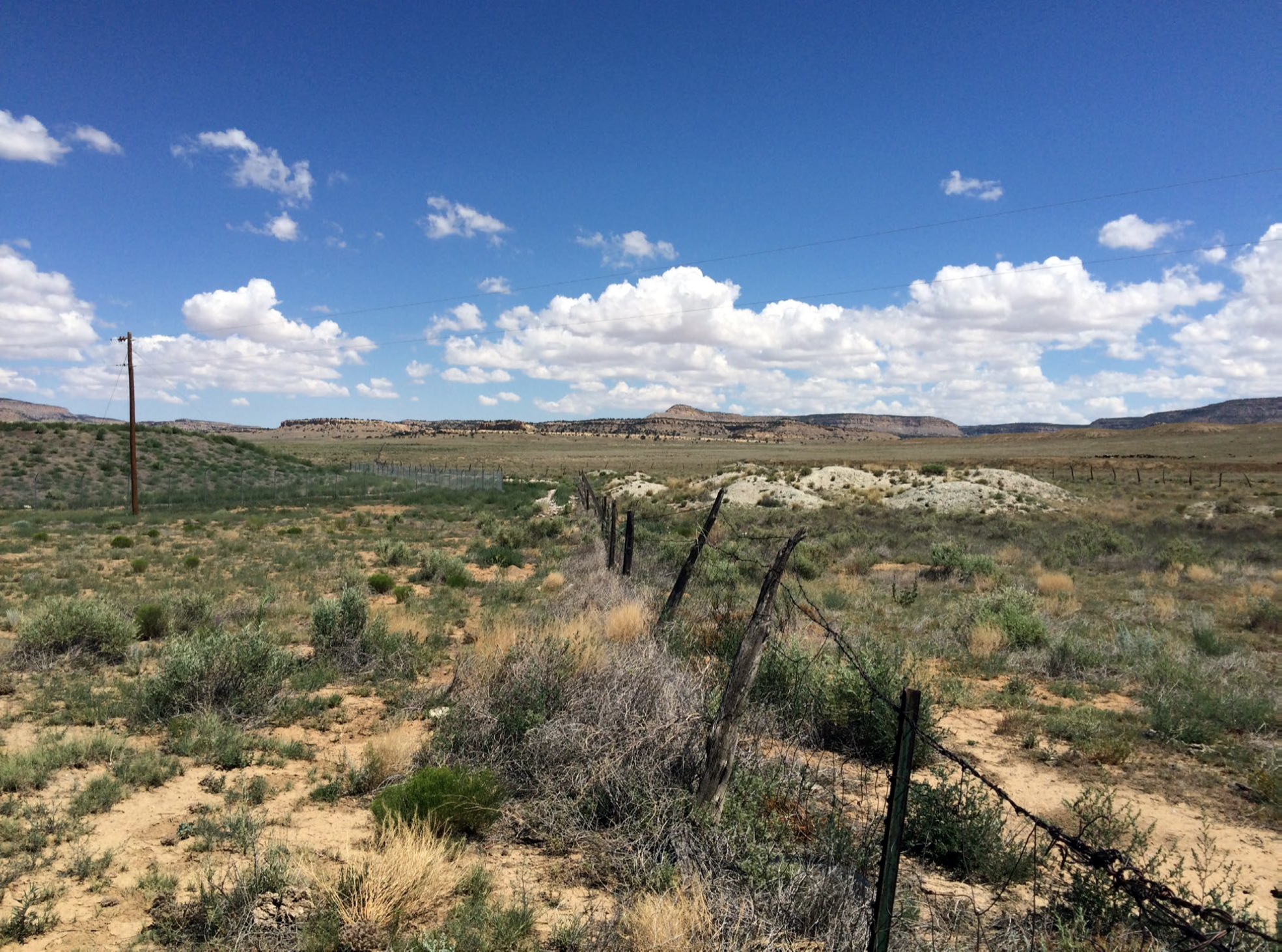
The Section 32 and 33 Mines site is a former uranium mine located at the east side of County Road 19, approximately 10 miles north of Prewitt, New Mexico in the Casamero Lake Chapter of the Navajo Nation. The Section 32 and 33 Mines includes an area of former mining operations and surrounding contaminated areas in the Eastern Abandoned Uranium Mine Region of the Navajo Nation. In 2012, mine waste from the Section 32 portion of the site was collected and covered in a 15-acre on-site fenced repository.
The United States Environmental Protection Agency (EPA) is working with the Navajo Nation Environmental Protection Agency (NNEPA) to oversee investigation and cleanup at the site while pursuing enforcement efforts with potentially responsible parties.
Background
- Several residences are located ¼ to ½ mile to the west of the mines with about 50 more residences in the Casamero Lake Chapter housing area about 1 mile to the northwest.
- Waste rock from the Section 32 Mine and Transfer Station has been consolidated and covered at Section 32 Mine.
- EPA will use funds from the $1 billion Tronox settlement to address remaining contamination at the Section 32 and 33 mines.
Remedial Project Manager
Kenyon Larsen (larsen.kenyon@epa.gov)
(415) 914-4213
Community Involvement Coordinator
Priscilla Tom (tom.priscilla@epa.gov)
(505) 240-0093
Section 32 and 33 Mines is an inactive uranium mine located north of Prewitt, New Mexico. Commercial exploration, development, and mining of uranium at Section 32 and 33 Mines site began in 1960 by the Kerr-McGee Corporation (Kerr-McGee), a predecessor of Tronox. Both mines are reported to be last operated by the Cobb Nuclear Company.
The Section 32 Mine is within Navajo Allotment Land, and the Section 33 Mine is privately owned. Mining at Section 32 and 33 Mines occurred between 1960 and 1969, producing a total of 24,360 tons of ore, 20,117 tons from Section 32 Mine and 4,243 tons from Section 33 Mine. The mines were deep, dry underground mines accessed by vertical mine shafts.
Ore from the mines was moved to the Section 32 and 33 Mines Transfer Station south of the main mining area, and then hauled off site on the unpaved road to the west to County Route 19. Ore was transported approximately 50 miles from the site to the Ambrosia Lake uranium mill located to the east and north of Grants, New Mexico.
The mines were “dry mines,” meaning that the mined ore was above the water table and did not require water to be pumped out.
Cleanup Results to Date
In 2009 and 2012, EPA conducted assessments of the site, and then in 2012 completed a “removal action” and reclamation work at the Section 32 portion of the site, including the Section 32 and 33 Mines Transfer Station. The work consolidated all the waste from Section 32 in an on-site repository that remains covered and fenced. In 2019, EPA conducted a Removal Site Evaluation field investigation and report later that same year. In 2022 EPA collected additional data at the Section 32 and 33 Mines site, the haul road, and the former transfer station to aid the development of the Engineering Evaluation and Cost Analysis (EE/CA).
Action Memorandum: Selection of the Removal Action
On September 30, 2025, the EPA Region 9 Superfund Director signed the Action Memorandum for the Section 32 and 33 Mines site. The selected removal action involves excavating waste from the Site and disposing of it off-site in a planned mine waste repository at the Red Rocks Landfill property near Thoreau, New Mexico. The repository will be permitted by the State of New Mexico to permanently hold the uranium mine waste rock so that human and environmental health are protected. This action meets the goals laid out in the Navajo Abandoned Uranium Mines Ten-Year Plan.
Next Steps: Permitting, Design, and Removal
The removal action selected in the Action Memorandum will remove about 70,000 cubic yards of waste from the Section 32 and 33 Mines site. To complete this selected action, the Northwest New Mexico Regional Solid Waste Authority, the Red Rocks Landfill operator, will work with the State of New Mexico to obtain the necessary permits to operate and permanently manage a mine waste rock repository on their property. Once the permits are obtained from the State, the removal work will begin. Excavation and transport of waste could take up to 18 months, with the entire removal action process estimated to take 3-6 years, including permitting, construction, operation, and closure of the new repository at the Red Rocks Landfill property.
Community Involvement
Community members have an opportunity to become involved in the cleanup activities and help shape cleanup decisions. EPA and NNEPA meet regularly, in coordination with chapter officials, with residents and other community members about work at the Section 32 and 33 Mines site.
Who is the Community?
The community includes people in both rural areas and more populated areas around Prewitt, Casamero Lake, Smith Lake, and Borrego Pass. Many people graze livestock near mine sites. The Section 32 and 33 Mines are located in the Casamero Lake chapter.
EPA and NNEPA Community Involvement Activities
EPA and NNEPA works with community leaders such as the council delegates, chapter, grazing and land board officials, responsible company liaisons, as well as community members for all outreach activities and information sessions which are conducted with cultural sensitivity. To keep the community informed, EPA and NNEPA has done the following:
- Developed fact sheets and flyers
- Conducted interviews for a Community Involvement Plan
- Attend chapter meetings to share information on cleanup progress
- Held open house meetings and workshops to share and receive input on cleanup alternatives
- Worked with chapter officials and family members to gain access to mine sites
- Attended local chapter meetings to share site investigation information
Partnerships
EPA and NNEPA continue to work and strengthen relationships with a number of organizations focused on uranium and radiation, including:
- Navajo Nation Abandoned Mine Lands Program
- Indian Health Service Community Uranium Exposure-Journey to Healing
- Indian Health Service Radiation Exposure Screening and Education Program
- Office of Navajo Uranium Workers
- Navajo Birth Cohort Study
- Navajo Nation Department of Health Community Health Representatives
- Bureau of Indian Affairs
- Indian Health Service
- Agency for Toxic Substances and Disease Registry
- Nuclear Regulatory Commission
- Department of Energy
- University of New Mexico
- Northern Arizona University
- Others as suggested by community members and local officials
Cleanup Progress Timeline
Before 2009, the buildings and aboveground structures were removed prior to EPA’s initial assessment, presumably by the owners/operators.
2025
On September 30, 2025, EPA Region 9 signed the Action Memorandum for the Section32 and 33 Mines site. The cleanup plan selected in the Action Memorandum entails removing uranium mine waste rock from areas on Navajo Nation and private land adjacent to Navajo communities and transporting it to a newly created off-site repository at the Red Rocks Landfill property east of Thoreau, New Mexico. This action will remove about 70,000 cubic yards of waste from the mine sites.
2024
Develop Community Involvement Plan for Section 32 and Section 33 mine sites.
2012
- Section 32 mine was backfilled and 3 mine shafts were closed
- A total of 34,686 cubic yards of waste from 15 areas on-site were combined into a stockpile on Section 32 mine including:
- Waste from Section 32 and 33 Mines Transfer Station
- Waste from closing mine shafts
- Waste Piles
- The stockpile:
- Covers 2 acres and is up to 30 feet high
- Is surrounded by a rock-lined drainage ditch
- Includes a rock-lined runoff detention basin at the southwest corner
- Was sprayed with soil stabilizer and dust control agents
- No work was performed on Section 33 mine
2019
EPA completed a Removal Site Evaluation of Section 32 and 33 Mines
2022
EPA collected additional data to complete the EE/CA
Documents
- Enforcement Action Memorandum: Section 32 and 33 Mines Site, McKinley County, New Mexico (pdf)
- Fact Sheet: Section 32 and 33 Mines Recommended Cleanup Alternative (Overview) (pdf)
- Section 32 and 33 Mines: Engineering Evaluation Cost Analysis (pdf)
- Section 32 and 33 Mines Removal Assessment Report (pdf)
- Site Screening Report
- Section 32 and 33 Mines Community Involvement Plan (pdf)
- Section 32 and 33 Mines Fact Sheets
- Eastern Mine Region Community Involvement Plans
- Eastern Mine Region Fact Sheets
- Tronox Mines Fact Sheets
- Tronox Mines Financial Reports
- Additional Documents